
December 22, 2025 · 1 min read
Using Magic Wand for Instant Country Highlighting
Master the zoom-dependent Magic Wand and Region tools to select countries, states, and provinces with a search or a single click.
By Mapimator Editorial#Tech#Tutorial#Productivity
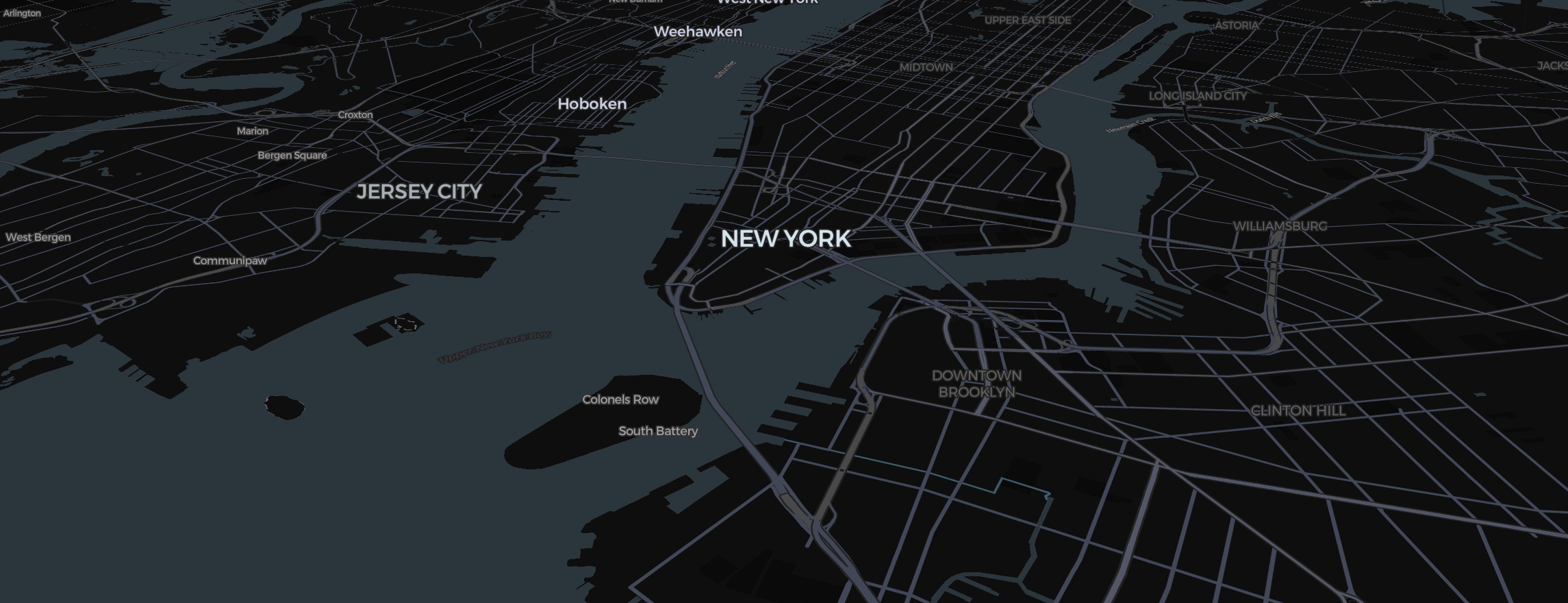
Highlighting geographic boundaries used to be a tedious task involving KML files and geo-precision. With Mapimator's Magic Wand (now part of the Region tool), it's a search or a single click.
Search or Click
The Magic Wand now lives in the Region button on the toolbar (shortcut H). It opens the Highlight regions window, where searching is the fastest way in:
- Search: type a country, a group (such as NATO or ASEAN) or a continent. Pick one, or tick several to add them all at once.
- Click on the map (Pro): pick a place directly on the map. This is still "zoom-intelligent": zoomed out it selects entire Countries, and zoomed in closer it selects States or Provinces (like Texas, Bavaria, or Maharashtra) where the map has them.
- Draw an area or Upload GeoJSON (Pro): highlight a shape of your own.
How to use it
- Select the slide where the highlight should appear.
- Click Region in the toolbar and search for a place (or open its menu and choose Click on the map).
- Confirm. This adds a region element that you can colorize and animate.
Styling Your Highlight
Once a region is added, select it and use the Style and Timing tabs of the element panel to:
- Change Colors: Use bright reds for conflicts or professional blues for real estate footprint.
- Animate: Set the animation type to Draw. The border will trace itself around the country as the camera reaches that slide. Fill reveals and border animations are also available.
- Overlay Logos: Use an Image element to place your logo in the center of the highlight.
The Region tool is the fastest way to add professional data visualization to your educational projects or news explainers.