
January 26, 2026 · 1 min read
How to Animate Flight Paths: From London to New York
Master the long-distance transatlantic flight animation with globe projection and arc paths.
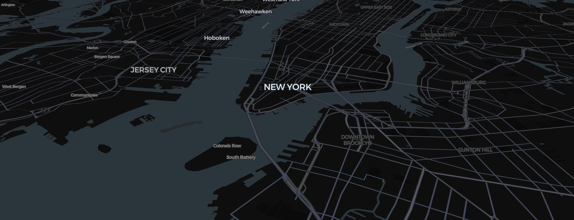
A journey from London to New York is more than a line on a map—it’s a leap across the Atlantic. To capture the scale of this journey, you need to transition from "Map thinking" to "Globe thinking."
Step 1: The Spherical Choice
Long-distance routes look distorted on a flat map.
- Hover the map style tile at the bottom left and choose Globe under View.
- This ensures that the curvature of the earth is visible, which is essential for high-end travel vlogs.
Step 2: Drawing the Great Circle
- Click Route in the toolbar to mark London (Dashed Start) and NYC (Bold End).
- Set the Transport Mode to Flight.
- Mapimator will automatically calculate the "Great Circle" path. Instead of a flat line, you get a beautiful arc that honors the real physics of long-haul travel.
Step 3: Pacing the Atlantic
The Atlantic is wide, so don't rush the camera.
- In your Storyboard, set the duration between the London and NYC slides to at least 10-12 seconds.
- Use Smooth Easing. This allows the viewer to see the sunrise/sunset gradients often found in the Satellite map style.
Step 4: The Landing
As you reach NYC, tilt the camera (Right Click + Drag) to see the iconic 3D skyline. Drop a Pin and add a custom Image of the Statue of Liberty for that extra branded touch.
Before you share your creation, let the export's map prewarming step finish. This ensures that the transition between the vast ocean and the dense city happens without a single frame of lag.