
February 2, 2026 · 1 min read
Creating a Tactical Map for Fictional Space Battles
How to use dark map styles and custom iconography to build sci-fi planetary invasion briefings.
By Mapimator Editorial#Gaming#Sci-Fi#Creative
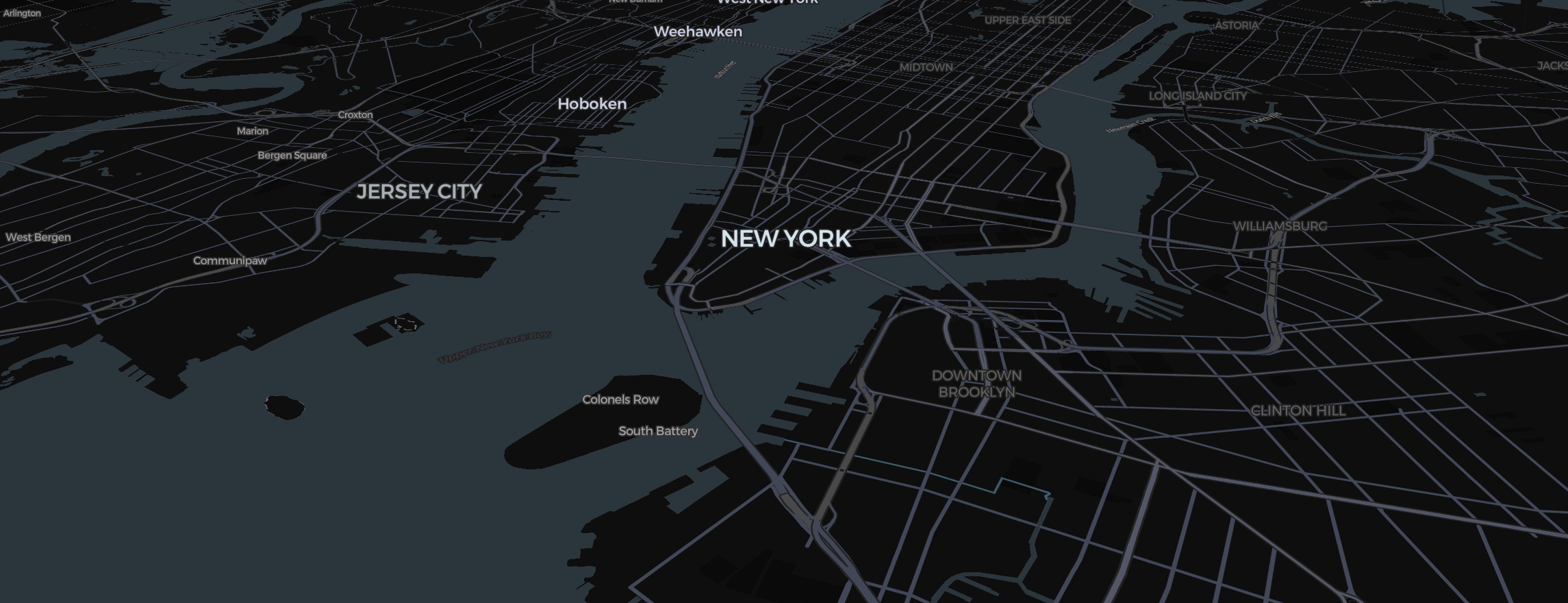
From sci-fi movies to strategy games, the "Planetary Tactical Briefing" is a staple visual. Even though Mapimator uses real-world geography, you can transform it into a futuristic battlefield for your fictional war stories.
The Cyberpunk Tactical Display
- The Map Style: Select Dark. This creates a blacked-out background where only the glows of city lights and technical data are visible.
- The View: Pitch the camera low (Right Click + Drag) and zoom out to a Global View with Globe selected under View in the map controls. It should look like a satellite feed from orbit.
Marking "Orbital Insertion" Points
- Pins: Use the Dot Style with a vibrant Neon Blue or Green color.
- The "Drop": Use the Drop animation type on your pins. This makes them "fall" onto the planet as the briefing begins.
- Regions: Use the Region tool (how it works) to highlight the areas of "Alien Occupation" in a high-contrast Purple or Red.
Custom Iconography
- Images: Add the Image tool and upload custom PNG icons for your ships, shields, or energy fields.
- Dashed Boundaries: Use dashed lines to show planetary defense perimeters or sensor ranges.
- Text: Pick a bold font such as Montserrat with a heavy halo for that technical "data readout" aesthetic.
The High-Tech Export
- Use Linear Easing. In a tactical computer simulation, the camera doesn't "drift"; it snaps with precision.
- Export at 60 FPS for smooth, glitch-free motion (60 FPS is a Pro option; free exports are 30 FPS at 480p with a small watermark).
- Always let the export's map prewarming step finish so that the glowing neon lines and deep black textures stay perfectly clean in the final MP4.